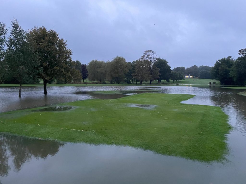
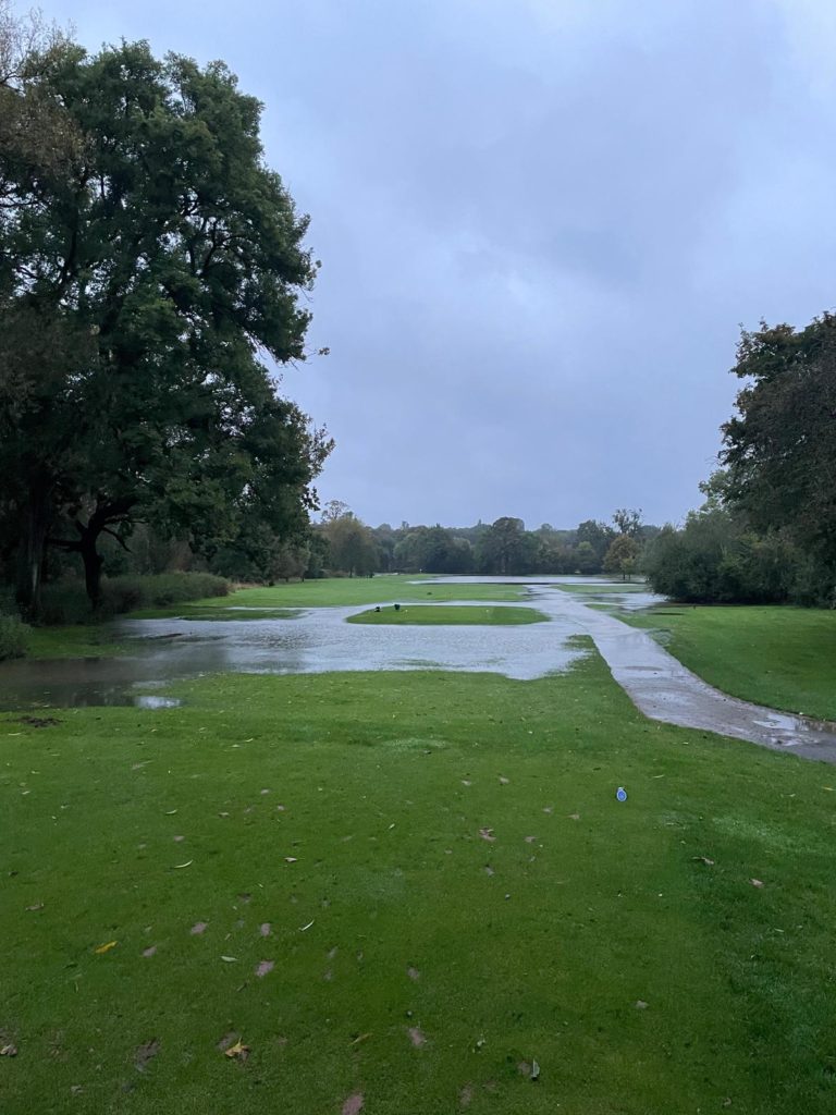
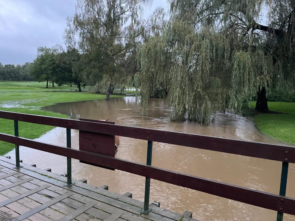
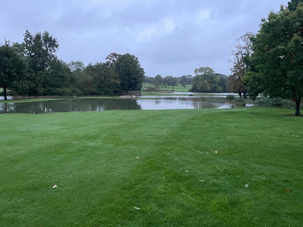
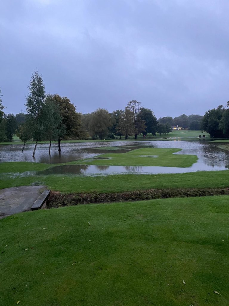
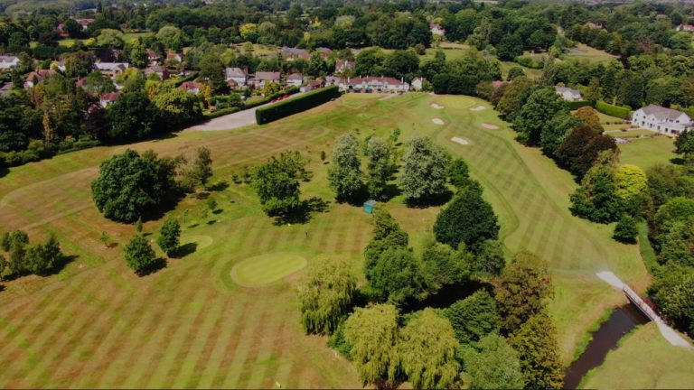
As feared Rothley Brook has burst it’s banks.
Article from Phil Morrish, Mountsorrel weather expert.
“September was the wettest we have ever recorded in Leicestershire in records going back to 1836. Dean Whittaker at his Hinckley station recorded 184.6mm which was 318% of average or over 3x the usual figure! At Mountsorrel i also recorded more rain in September than ever before with 156.3mm landing in my rain gauge. Again this was nearly 3x the usual total. In addition to this with these totals we exceeded any rainfall we have recorded before in any month. Dean`s record in Hinckley was 167.5mm falling in January 2014 and mine was 152mm falling in June 2012 when we had the remarkable hail storms with stones up to 9cm wide that caused millions of pounds of damage as long as the biblical rainfall. The wettest day in Hinckley on the 22nd saw a staggering 49mm fall very close to the monthly average in a day! This was the wettest September day in Hinckley since 8/9/1972. In Mountsorrel the 22nd was also my wettest with 34mm falling.
The first two thirds of the month was actually not too bad with some warm days and up until the 21st only moderate amounts of rain. It was on the 21st that the weather turned and as a very humid airmass combined with lowering air pressure this turned into a recipe for rainfall of biblical proportions! from the 21st onwards. Between 125 and 150mm or 5-6 inches of rain fell in this time period or nearly 3 months of average rainfall coming down mostly in 10 days! Initially the rivers coped but then the downpours resulted in the water table rising and severe flash flooding took place before the rivers too burst their banks for the umpteenth time in the last 12 months. The flooding affected most of Leicestershire once again causing major problems for travellers.
Temperature wise the month was slightly cooler than average with afternoon temperatures of 18c logged in Hinckley with both stations recording an average night time min of 10.4c. The overall mean of 14.2c was 0.3c below the 1990-2020 average and the coolest since 2017. There were some warm days early in the month with our warmest day being recorded on the 6th with 25.3c as a max. Our coldest day was on the 11th when just 12.6c was logged. There were some warm nights as the month began with a low of just 16.8c on the 6th but there were a few chilly nights too with 1.9c being our lowest night temperature for the month on the 13th. Once again there was no September air frost.
Sunshine totals were a little below par at 108 hours or 81% of the usual total. The sunniest day was the 16th when we recorded 11.5 hours.
So after a drier summer the rain really returned with a vengeance in September breaking all records for the month. Heavier rainfall with higher global temperatures is the prediction for the future so we may need to adapt to these wet conditions as they become more frequent. Thanks very much to Dean for his Hinckley weather information!”


View insights
0 post reach
Like
Comment
Send


